Data Analysis & Management
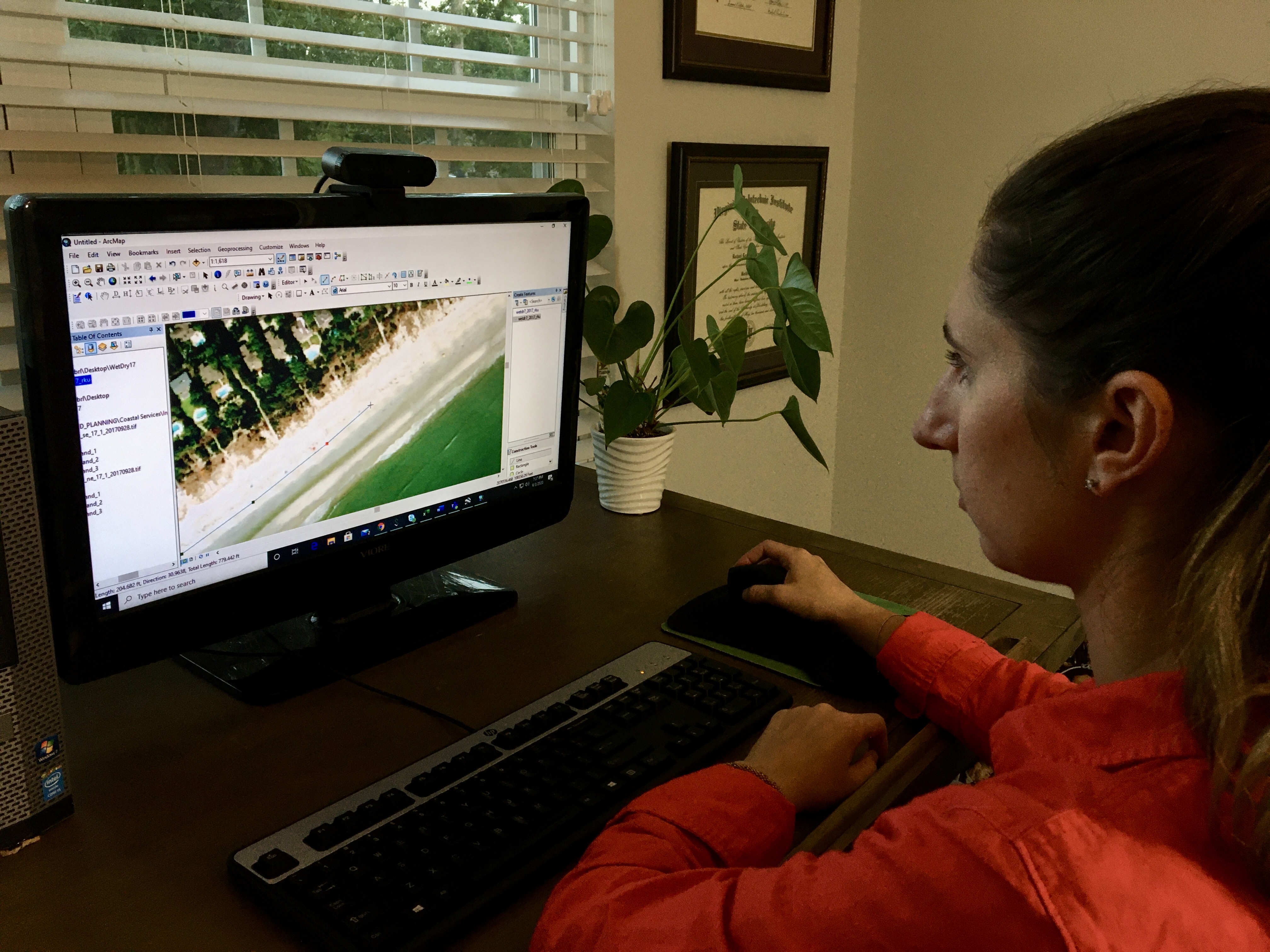
SCDES OCRM staff utilize a variety of spatial and non-spatial data for coastal planning and regulatory activities. Using the latest GIS desktop, online, and mobile applications and software platforms, the Coastal Services section provides data analysis and management services to support staff, programs, and product development. Coastal Services staff also manage projects and contracts associated with large-scale data collection efforts. One of the significant data analysis and management efforts that Coastal Services oversees is the review of the State’s Beachfront Jurisdictional Lines, where staff are involved with data collection, geospatial analysis, and providing final products to the public.
Field Equipment
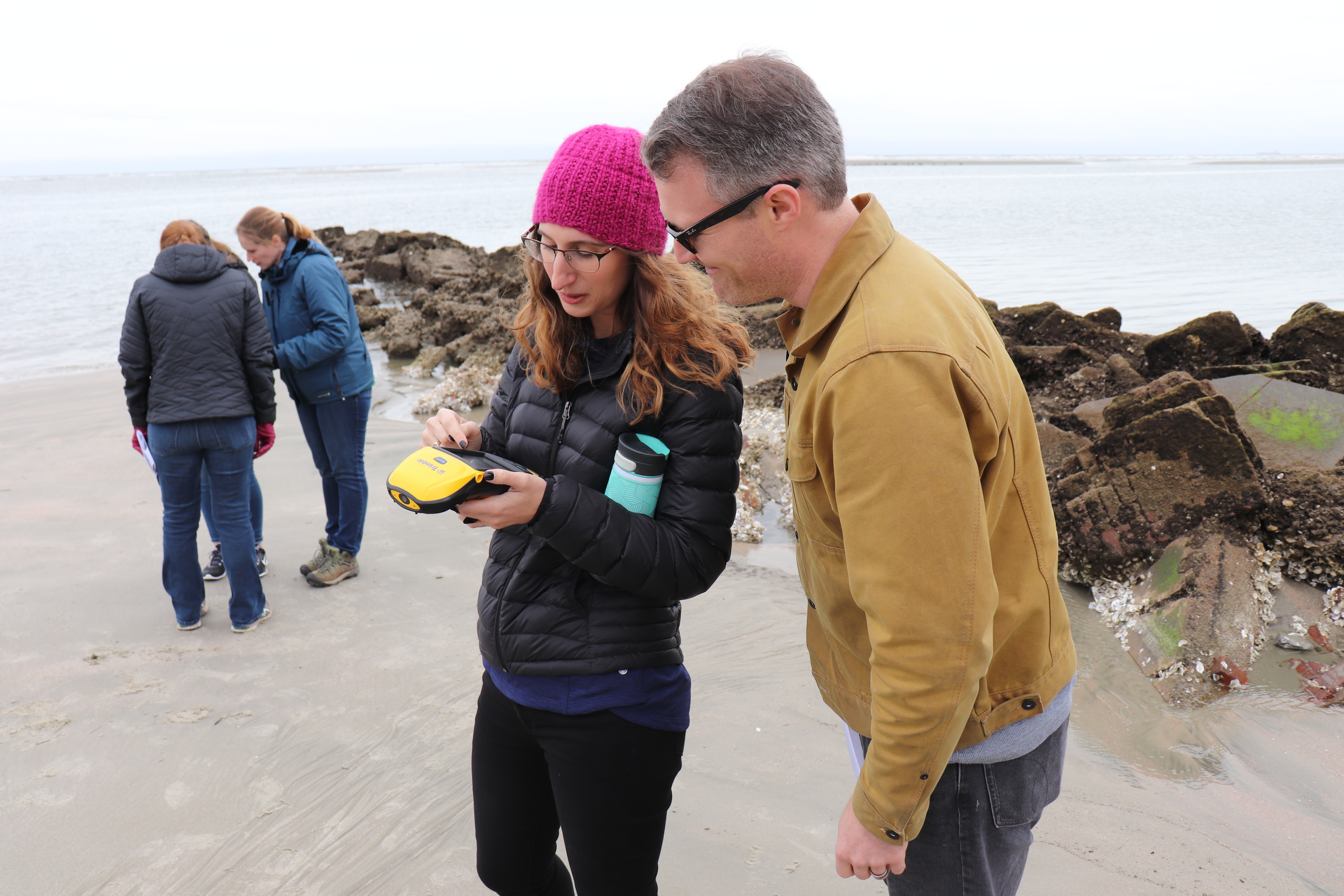
SCDES OCRM staff frequently need high-accuracy spatial data to inform decision-making. The Coastal Services section maintains multiple survey-grade and non-survey grade GPS units, develops equipment user manuals, and conducts staff training on GPS equipment. New ly, the section maintains two Trimble RTK survey-grade GPS units (R6 and R12i), as well as 5 Trimble mapping-grade GPS units (GeoXT and Geo7X).