Back to All Blogs
 Back to All Blogs
DHEC recognizes Dam Safety Awareness Day
Wednesday, May 31, 2023
Dam Safety Awareness Day is observed nationally on May 31 every year to mark the anniversary of the Johnstown Flood, a flood that resulted from the 1889 failure of the South Fork Dam in Pennsylvania and caused the deaths of 2,208 people. This remains the third largest loss of civilian life in a single day in the United States behind the 1900 Galveston Hurricane and the 9/11/2001 terrorist attacks.
It is fitting that the anniversary of this horrific event – which also happens to coincide with the start of the Atlantic hurricane season – was chosen to recognize the roles dams play in our communities and the critical need to maintain dams in a manner that minimizes risk from failure.
Since passage of South Carolina’s Dams and Reservoir Act in 1977, the tools used to implement the state’s Dam Safety Program have evolved. Long gone are the days of recording names of dam owners and permits issued in handwritten ledger books and tracking the location of dams on USGS topo maps. DHEC’s Dam Safety Program has been recognized as a national leader in the use of innovative tools and technologies to collect and share information on South Carolina dams.
New Tools of the Trade
Drones: Dam safety was an early adopter of unmanned aerial vehicles (UAV), or drones as they are commonly referred to, within DHEC. Drones allow program staff to reach areas previously deemed unsafe or extremely difficult to access. They have the capability to collect high-resolution pictures, videos and elevation data.
Topographic maps and 3-D models of ponds, dams and surrounding areas are generated from drone flights to aid in decision-making. Dam safety even has its very own FAA Part 107 licensed operator, Kelsy Grogan.
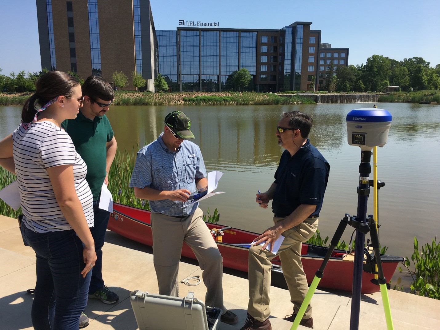
Bathymetry: Bathymetry is the technique of mapping the bottoms of ponds, lakes, rivers and the ocean. The program uses bathymetry equipment to create detailed 3-D models of the impoundment created by a dam.
These 3-D models allow staff to create elevation-storage relationships for impoundments, including the maximum impoundment volume, which is a critical input for dam breach modeling. This capability allows staff to determine with accuracy if a dam must be regulated by the program.
Keeping the Public Informed
The data collected from UAV flights, bathymetric surveys and modeling not only are used by the Dam Safety team in decision-making, but the data also can provide valuable data to the public to further understanding and visualization of dam safety issues in South Carolina communities.
The most recent spatial tool the program has explored is the use of ArcGIS Storymaps to display data in a format that allows for streamlined navigation, overlay of data and images and opportunities to allow visitors to explore related topics. The Dam Safety team took the need to provide relevant information on Lake Conestee Dam by working in conjunction with the agency’s GIS team and Bureau of Land & Waste Management to produce a resource for the media, concerned citizens and stakeholders. Check out the storymap for yourself!