What is a Receiving Water Body?
Receiving Water Bodies includes:
- All regularly tidally influenced salt and freshwater marsh areas,
- All lakes or ponds which are used primarily for public recreation or a public drinking water supply, and
- Other water bodies within the coastal zone.
It excludes wetlands, swamps, ditches, and stormwater management ponds that are not contiguous via an outfall or similar structure with a tidal water body.
What is a Coastal Receiving Water?
Coastal Receiving Water will have clear and continuous connection from a stream, river, or tributary out to the ocean. However, Coastal Receiving Water does not need to be tidal or tidally influenced.
In most scenarios, the Coastal Receiving Water is the Nearest Receiving Water Body.
Coastal Receiving Water = Nearest Receiving Water Body
Nearest Receiving Water Body = Coastal Receiving Water
However, in some instances, the nearest Receiving Water Body is not the Coastal Receiving Water.
When is the nearest Receiving Water Body not the Coastal Receiving Water?
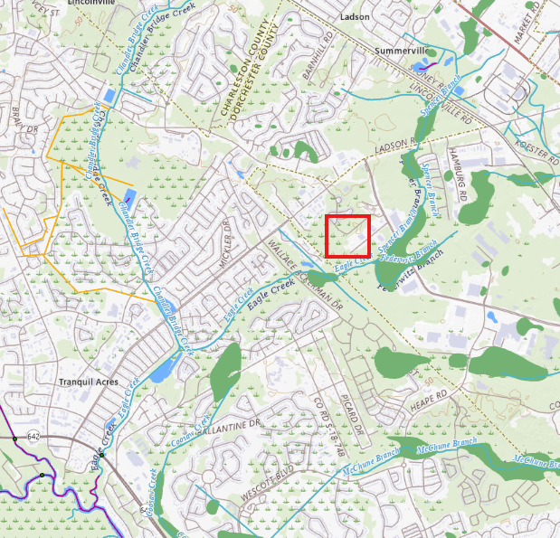
If the blue line data from the USGS map is not continuous (i.e. there’s a break in the blue line) for the Receiving Water Body from the project site, then the Coastal receiving Water is not the same.
Why does a break in the data occur?
A break in the line is typically made as a result of a smaller tributary or stream entering a larger wetland/swamp feature on the landscape and losing its main channel and becomes free flowing. When it becomes free flowing, there is no definite path that the runoff takes. Therefore, meets the exclusions identified above.
Why do we ask for both the nearest Receiving Waterbody and the Coastal Receiving Water?
It helps CZC’s policy review of the runoff flow path from the site and apply the appropriate conditions during the review process. The runoff flow path is measured from the outfall, when the treated stormwater is leaving the property line or into the natural system.
If a site is located within:
- 1000 feet of shellfish beds, the applicant must show that the first 1.5 inches of runoff from the built upon portion of the property is retained onsite, regardless of treatment type.
- 0.5 miles of a receiving waterbody (deemed the Coastal Receiving Water) and is using a pond with a permanent pool, the applicant must demonstrate storage of the first 0.5 inches of runoff from the entire site or storage of the first 1-inch runoff from the built upon portion of the property, whichever is greater.
How to Find the Nearest Receiving Water Body and Coastal Receiving Water
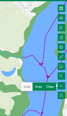
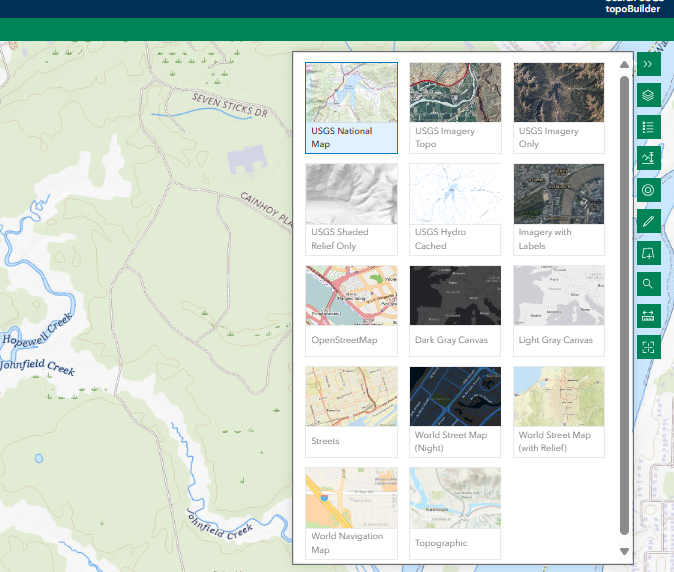
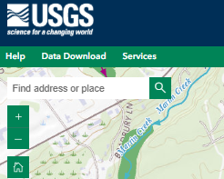
- Go to the USGS The National Map - Advanced Viewer located here: https://apps.nationalmap.gov/viewer/
- Turn on the USGS National Map to identify blue line data
Turn on the layer “National Hydrology Dataset.” to further identify blue line data and flow direction
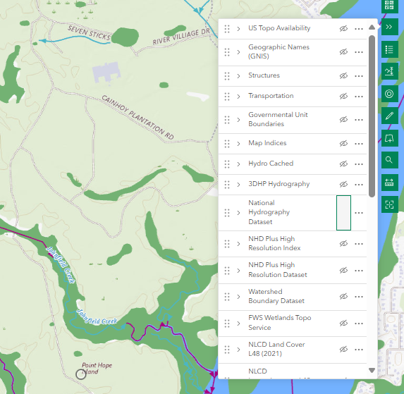
Find your site location.
- Find the nearest blue line on the map, this is your nearest receiving waterbody. If this line has a path that flows continuously to the ocean, then it is also the coastal receiving waterbody.
Then measure the flow path in Feet (US) using the measure tool. It can be found seven icons from the left.