Back to All Blogs
 Back to All Blogs
Help Document King Tides: How Your Photos Support Coastal Science
Friday, Dec 5, 2025
If you live along South Carolina’s coast: The last of 2025’s King Tides are predicted to occur this weekend. While this marks the end of this year’s events, it does not mean communities and individuals should ease up on their preparedness. These exceptionally high-water levels could present challenges to public safety and property.
What are King Tides?
A more casual term, “King Tide” refers to the highest seasonal tides. These are natural phenomena that occur every year as a result of a spring tide coinciding with the perigee, or when the moon is at its closest point to Earth during its orbit. The level of King Tides is being exacerbated by mean sea level rise, posing an increasing threat to coastal communities.
Why Should I be Concerned About King Tides?
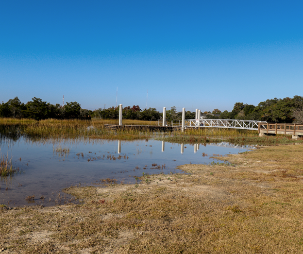
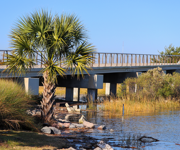
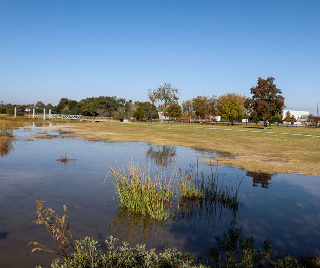
If you live in a coastal community, you may feel the effects of high King Tides directly. They can contribute to coastal flooding and erosion, making these issues worse, and disrupting normal daily activities. According to the National Oceanographic and Atmospheric Administration (NOAA), there are also times when these tides can exceed predicted levels due to “short-term meteorological events” like onshore winds and precipitation. This may stop proper water drainage from taking place.
What Can I do to Help?
In order to aid documentation of King Tide events and their effects on coastal communities, SCDES encourages you to submit photos of such occurrences. The agency provides a Tide Chart which you can use alongside the MyCoast: South Carolina app to submit photos right from your smartphone. Always make sure to stay safe while taking photos and avoid putting yourself in danger!
Contributing data about these events allows scientists to put together visualizations of King Tide predictions and impacts so that the public remains well-informed of risks to themselves and their property. South Carolina isn’t the only state participating in such citizen science— the King Tides Initiative (which began in 2009 in Australia) is active in states such as California, Oregon, and Washington on the west coast (plus British Columbia) and South Carolina, North Carolina, Maine, New Hampshire, Connecticut, and Rhode Island on the east.
In addition, if you are signed up for MyCoast in South Carolina, SCDES will notify you of “water levels are predicted to reach 6.6 feet above mean lower low water (MLLW) or higher at the Charleston Harbor Tide Station.” Aided by thresholds set by NOAA, this can help you stay informed during the annual King Tide seasons.
What Are Some Other Resources About King Tides?
Please see the interactive story map from NOAA on the King Tides Project, as well as the tide chart for December 2025.