Groundwater models are used to simulate groundwater flow and assess groundwater availability.
Overview
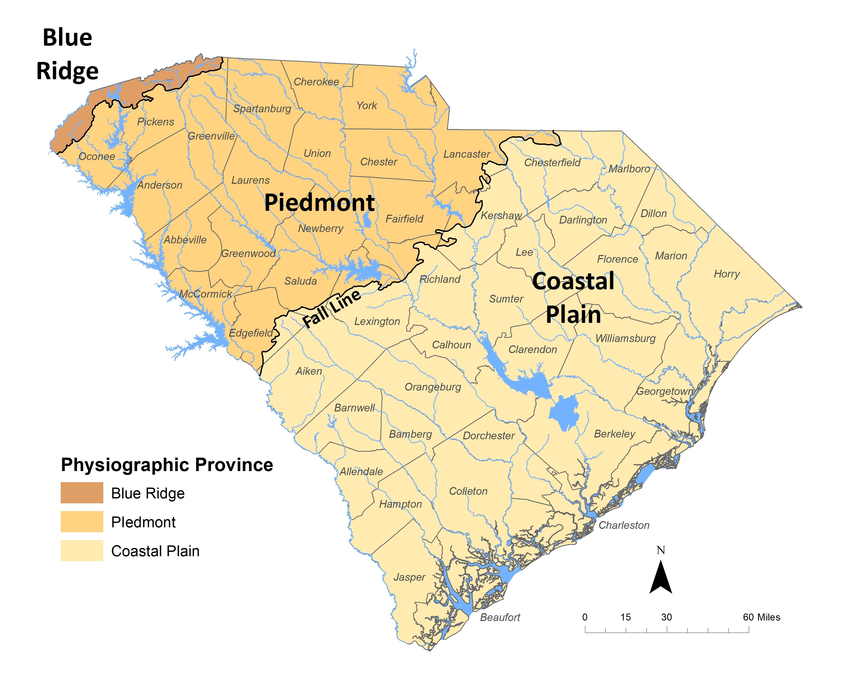
Effective water planning and management requires an accurate assessment of the location and quantity of the State’s groundwater resources. The United States Geological Survey (USGS), in cooperation with SCDES, the South Carolina Department of Environmental Services (SCDES), and the United States Army Corps of Engineers, is developing a computer model to simulate groundwater flow in the Coastal Plain province of South Carolina.
The MODFLOW model is expected to be completed and available for use before the end of 2019.
The model can be used to:
- Determine groundwater availability.
- Evaluate the impact pumping has on groundwater and surface water resources and on other groundwater users.
- Evaluate future withdrawal scenarios to help maximize groundwater use and minimize undesirable effects of pumping.
- Support the development of State and regional water plans.
For more information about the groundwater modeling project, contact Andy Wachob at andy.wachob@des.sc.gov.
Project Documents and Related Information
For additional information on the USGS groundwater model, visit the USGS project website.
For information about stakeholder meetings, please visit Clemson's stakeholder website.